|
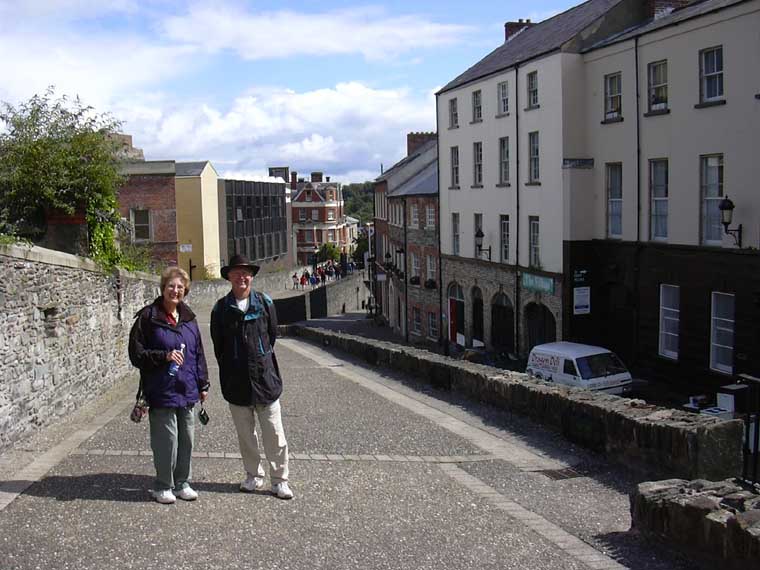
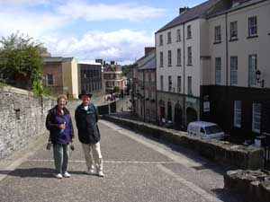
We spent two days in this fascinating city that has seen so much
violence throughout its history. Even the name has been controversial.
During "The Troubles" which started in the late 1960's,
the Unionists who were generally Protestants, called it Londonderry
while the Catholics called it Derry. Today the official name is
Londonderry but the common name that almost everyone uses is Derry.
 You
can't visit Derry without learning something about the history of
the area and listening to various opinions about "The Troubles"
of the 60's and 70's. Without going into a great deal of detail
here, it really started over 800 years ago when the British decided
to take control of the island. Since then, there have been numerous
attempts by the Irish to eject the British, and many attempts by
the British to make the island and the Irish more British. Tactics
included outlawing the Gaelic language, banning the practice of
Catholicism, barring Catholics from owning land and relocating British
and Scots to Ireland and giving them land once owned by the Catholics. You
can't visit Derry without learning something about the history of
the area and listening to various opinions about "The Troubles"
of the 60's and 70's. Without going into a great deal of detail
here, it really started over 800 years ago when the British decided
to take control of the island. Since then, there have been numerous
attempts by the Irish to eject the British, and many attempts by
the British to make the island and the Irish more British. Tactics
included outlawing the Gaelic language, banning the practice of
Catholicism, barring Catholics from owning land and relocating British
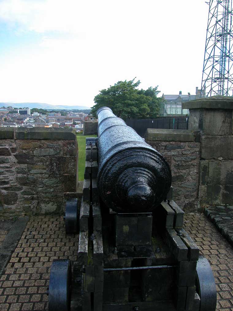
and Scots to Ireland and giving them land once owned by the Catholics.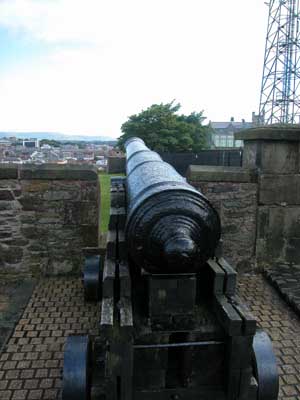 In the 1600's, the British built a wall around the city to protect
the Protestants from the invading Catholics led by William III.
That wall still exists and separates the primarily Protestant inner
city from the Catholic Bogside area.
In the 1600's, the British built a wall around the city to protect
the Protestants from the invading Catholics led by William III.
That wall still exists and separates the primarily Protestant inner
city from the Catholic Bogside area. 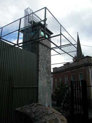 It
was once again the scene of violence during the Troubles, with the
British army occupying Tower stations along the wall in an attempt
to keep the peace. It
was once again the scene of violence during the Troubles, with the
British army occupying Tower stations along the wall in an attempt
to keep the peace.
The Troubles in 1969 actually began as a civil problem. The law
said only landowners could vote. Since landowners were primarily
Protestant, the protesters were mainly Catholics. Their demonstrations
and marches were squelched forcefully by the police force. And the
war became a religious war. It also led to the rise of more violent
paramilitary Nationalist groups like the Irish Republican Army and
decades of fighting and violence. Fortunately, in 1998 the Good
Friday Agreement was signed dismantling the claims of both Ireland
and Britain to the North and giving the people in Northern Ireland
the right to take charge of their own destiny. It's been a struggle
since then but today there is a tenuous peace as they continue to
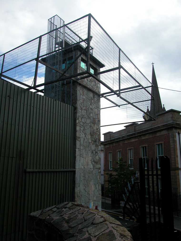
work out the terms of the peace process. 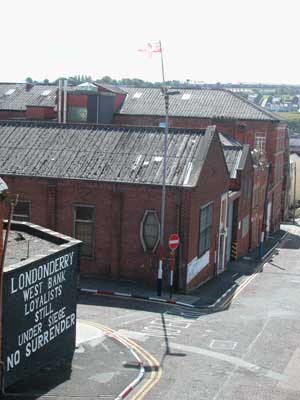 Meanwhile
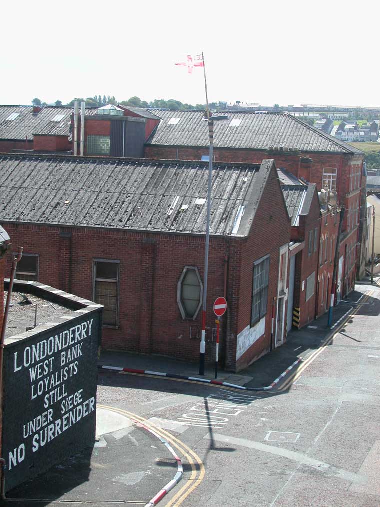
there are reminders everywhere of the troubles. Huge murals on the
side of buildings in Bogside depict those killed or jailed during
protests. Sections of barbed wire can still be found along the wall.
And of course the army towers can be seen throught the city though
most of the army has left. Meanwhile
there are reminders everywhere of the troubles. Huge murals on the
side of buildings in Bogside depict those killed or jailed during
protests. Sections of barbed wire can still be found along the wall.
And of course the army towers can be seen throught the city though
most of the army has left.
On a positive note, there is more integration of Protestant and
Catholic children in the school system with the hope that as the
young grow up there will be more tolerance and respect for each
other.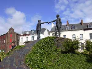 A beautiful sculpture on a hill in the center of the city shows
the hands of friendship reaching across the religious divide, a
hopeful sign for the future of Derry and the rest of Northern Ireland.
A beautiful sculpture on a hill in the center of the city shows
the hands of friendship reaching across the religious divide, a
hopeful sign for the future of Derry and the rest of Northern Ireland.
Just north of Londonderry is the Inishowen Penninsula. We took
an optional bus tour of the area and despite a few clouds at first,
the day turned out to be sunny for the spectacular views along the
coast.
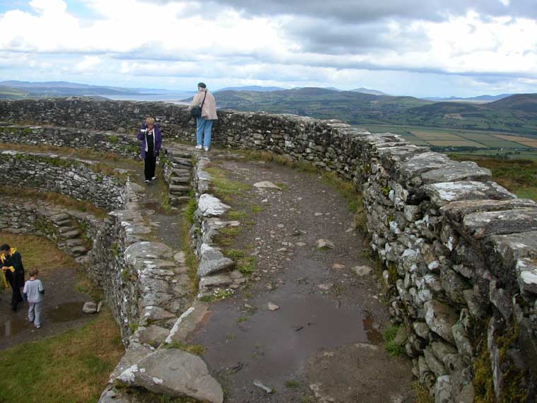
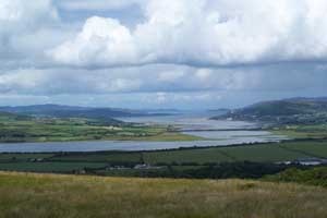
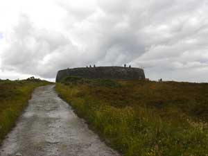 Our
first stop was at an ancient circle stone fort from the 6th century
called Guianan Aileach. From the top of the fort we had a view of
4 counties, Lough Foyle and Lough Swilly (Lough means Lake in Gaelic). Our
first stop was at an ancient circle stone fort from the 6th century
called Guianan Aileach. From the top of the fort we had a view of
4 counties, Lough Foyle and Lough Swilly (Lough means Lake in Gaelic).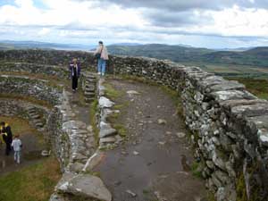
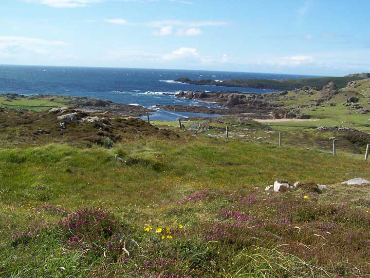
 From
there the bus navigated a narrow country road out to Malin Head
- the northern most point in Ireland. From
there the bus navigated a narrow country road out to Malin Head
- the northern most point in Ireland. 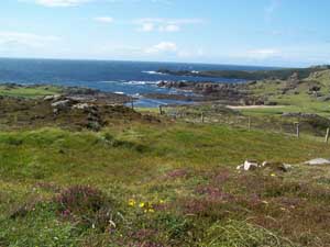 The
heather was still blooming on the hillsides and we could see farmlands
rolling down to the Atlantic ocean. There was even an old thatched
roof cottage to complete the patoral setting, something of a rarity
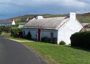
in Ireland today. The
heather was still blooming on the hillsides and we could see farmlands
rolling down to the Atlantic ocean. There was even an old thatched
roof cottage to complete the patoral setting, something of a rarity
in Ireland today.
 Many
more pictures of Londonderry and the Inishowan Penninsula can be
found in the Photo Gallery. Many
more pictures of Londonderry and the Inishowan Penninsula can be
found in the Photo Gallery.
Home Photos
Map Contact
Us
|