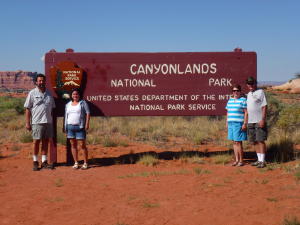
Canyonlands National Park is divided into 3 very different districts:
Island in the Sky in the north, The Needles in the east, and The
Maze in the west. The Island in the Sky area is 32 miles from Moab.
Though close to Arches National Park, it has very different geological
features. The Colorado and Green Rivers cut a path through the area
and form the boundaries between the districts. Hiking trails, longer
and more primitive than in Arches NP, lead to amazing vistas of
the canyons in the park.
 |
 |
 |
|
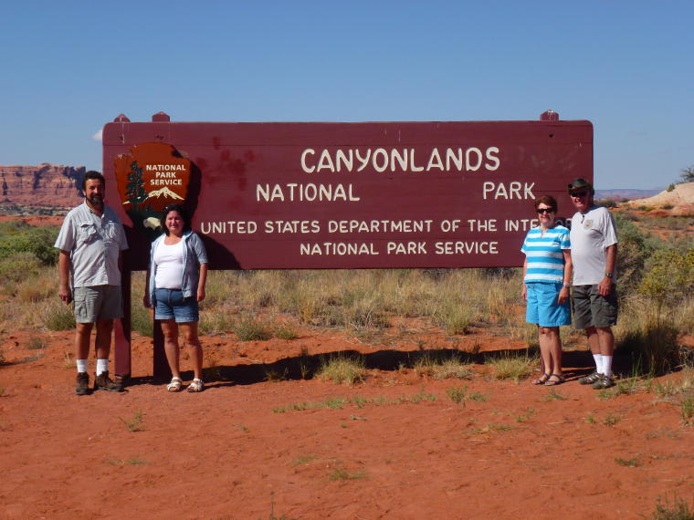
Entering Canyonlands
|
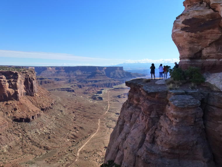
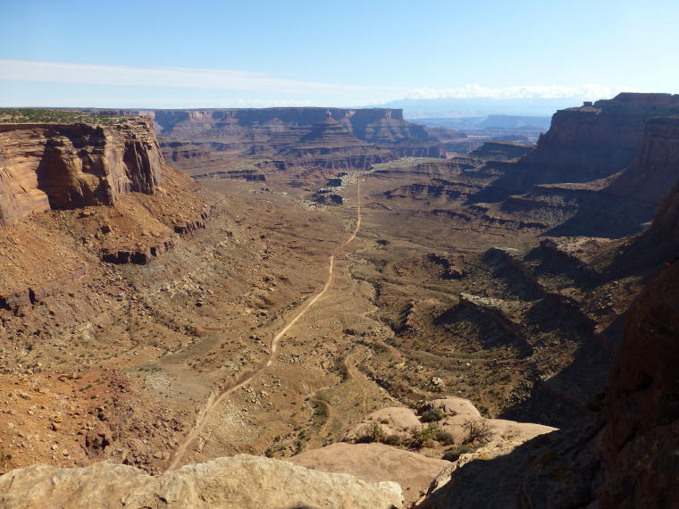
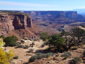
Shafer Canyon Overlook
|
Shafer Canyon
|
 |
|
 |
|
A great viewpoint
|
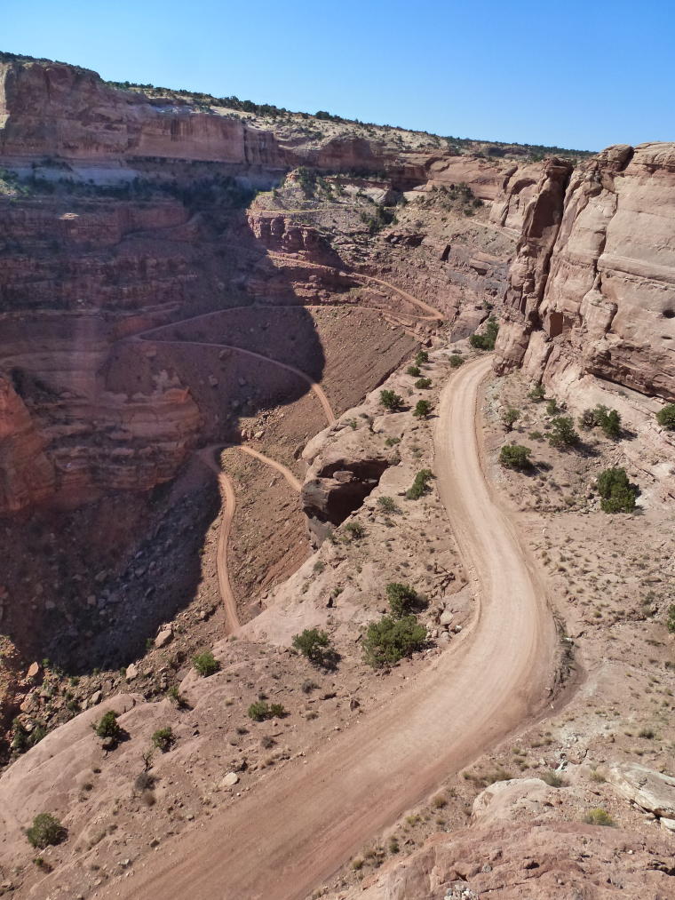
Shafer Trail Jeep Road
|
Jeep Trail through Shafer Canyon
|
|
|
|
 |
|
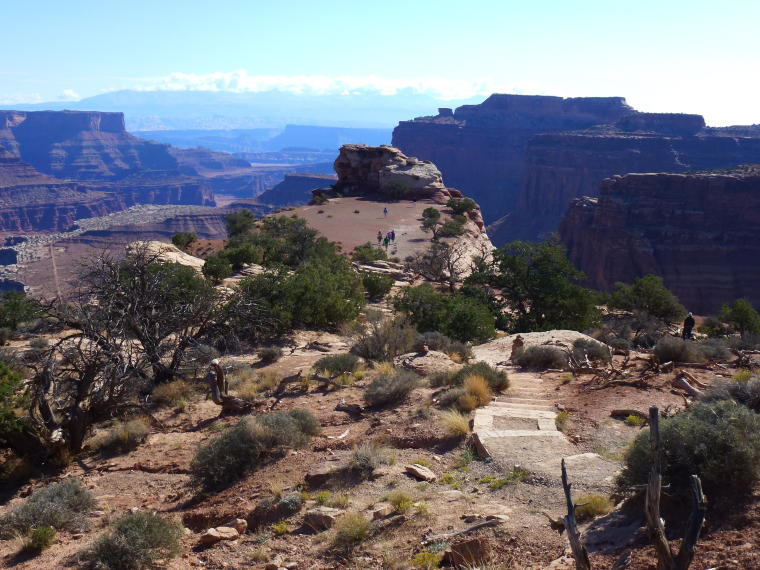
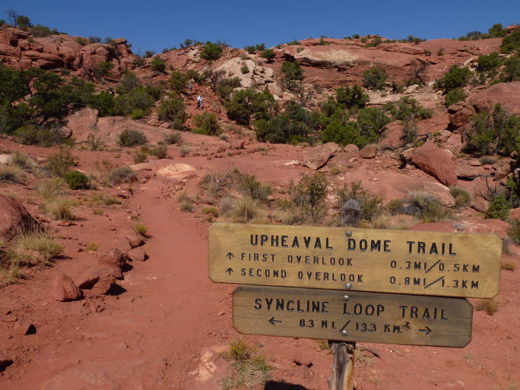
Trail to Upheaval Dome
|
Steps lead up the trail
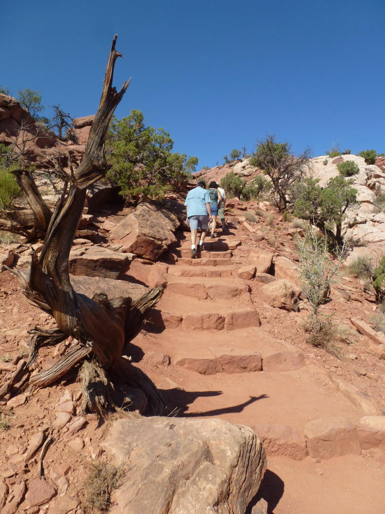
|
We follow cairns over rock faces
|
 |
 |
|
|
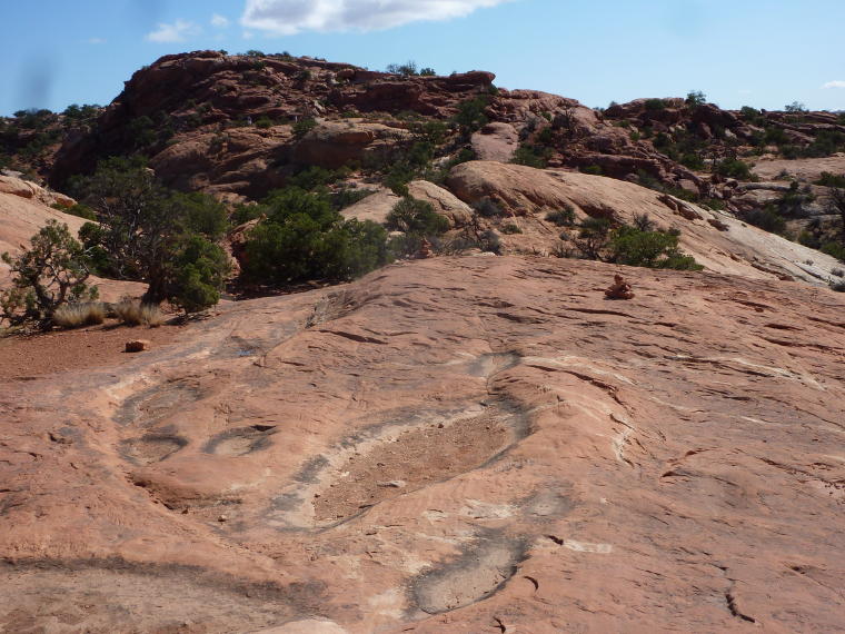
Cairns mark the "trail"
|
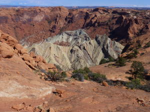
Upheaval Dome - 1500 ft. deep crater. Geologists
are not sure what created the dome - some think a meteor hit.
|
Billie and Barb enjoy the view
|
 |
 |
 |
|
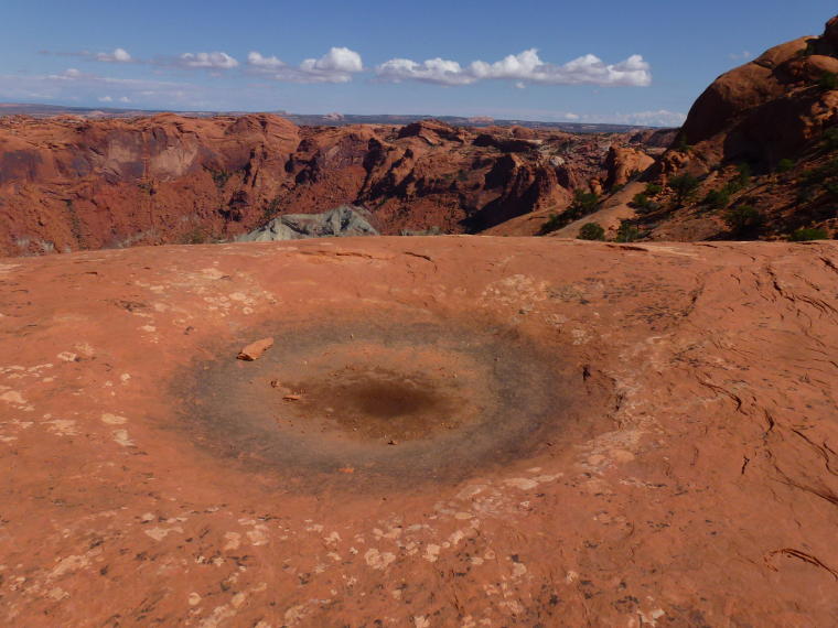
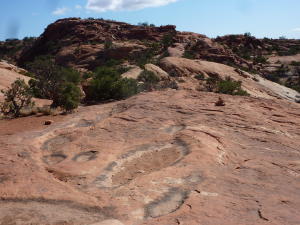
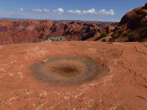
A Pothole collects water
|
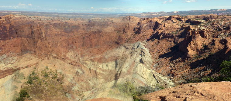
Panoramic shot of Upheaval Dome
|
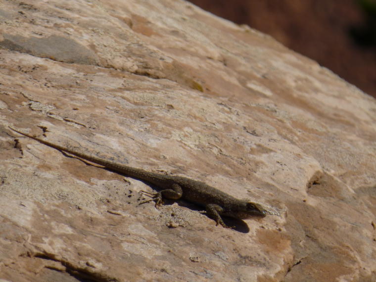
A Lizard shares the trail
|
 |
 |
 |
|
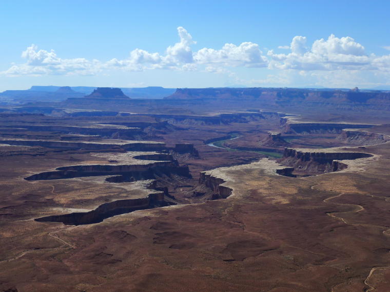
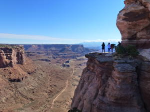
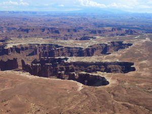
Green River Overlook - Elevation 6000 Ft.
|
The Green River cuts through the canyon.
The Green River divides the Island in the Sky district from
the Maze district.
|
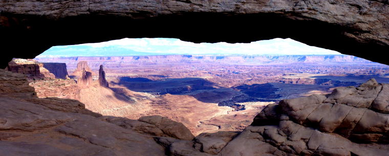
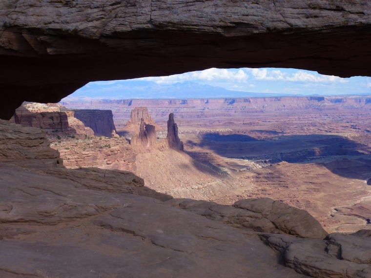
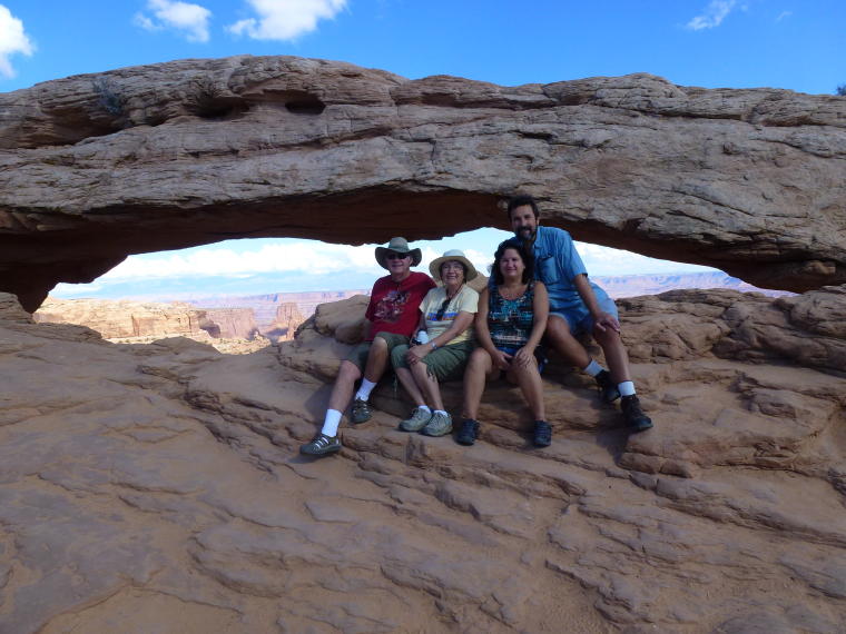
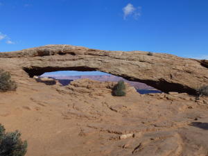
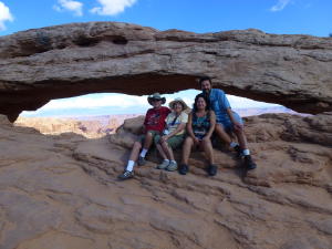
Mesa Arch - a 1/2 mile loop trail leads
to the most scenic arch in Island in the Sky.
|
 |
 |
 |
|
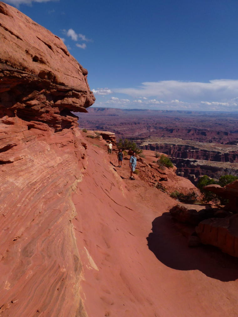
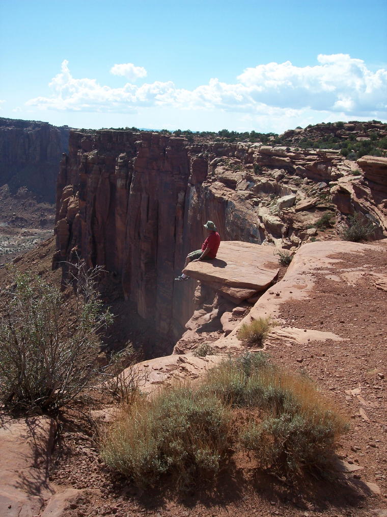
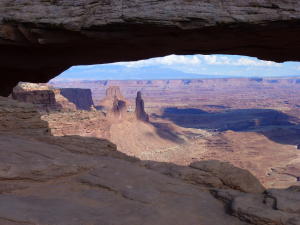
View through Mesa Arch
|
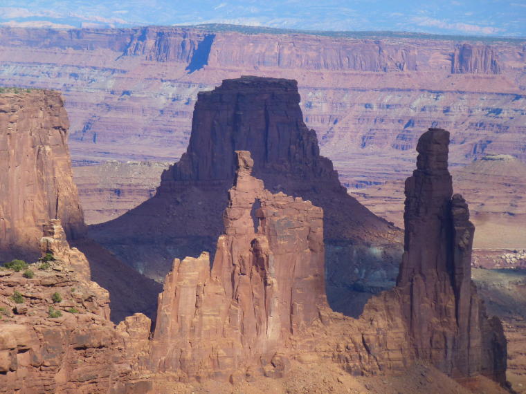
Formations beyond Mesa Arch
|
The Hikers
|
|
|
 |
 |
|
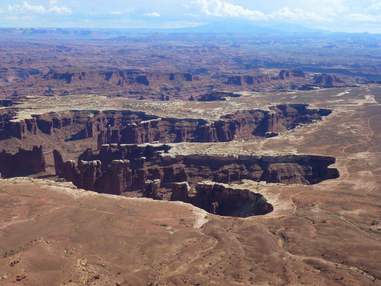
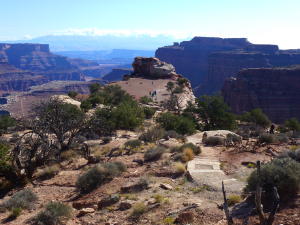
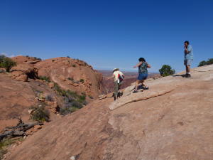
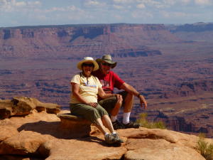
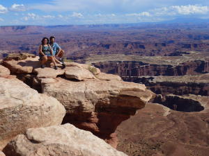
Grand View Point Trail - a 2 mile round
trip hike along the rim of the canyon to the end of the Island
in the Sky mesa.
|
View from Grand View Point Trail
|
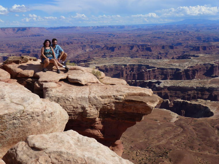
Barb and Fred enjoy the view
|
 |
|
 |
|
Billie and Kenny on Grand View Point Trail
|
Fred admires the view
|
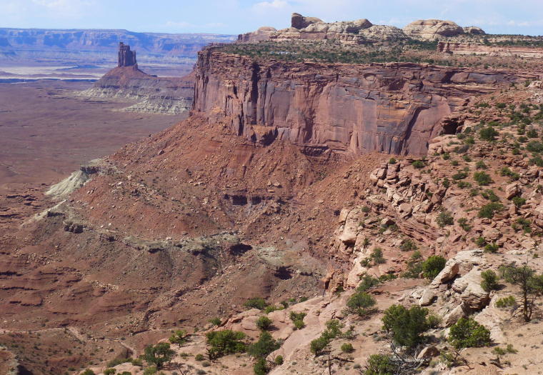
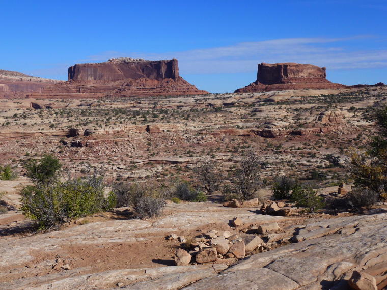
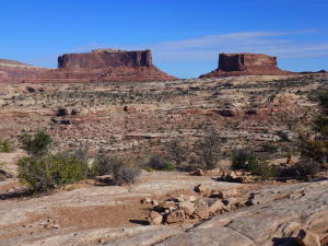
The Merrimac and Monitor Buttes - named
after the Civil War ironclad ships which they resemble.
|