Canyonlands National Park is divided into 3 very different districts:
Island in the Sky in the north, The Needles in the east, and The
Maze in the west. The Needles district is located 76 miles southwest
of Moab. It is noted for its sculptured rock spires, pinnacles and
canyons. Many of its arches are hidden in the backcountry canyons
and can only be reached by 4 wheel drive vehicles or long hikes.
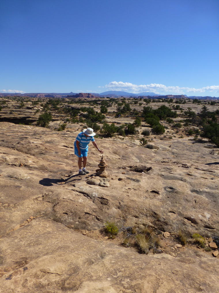
We took several interesting shorter hikes off the main road, following
cairns over slick rock trails.
 |
 |
 |
|
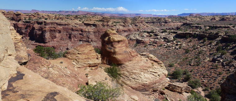
Odd Sandstone formations on the road into
Needles District
|
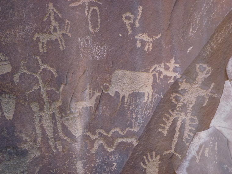
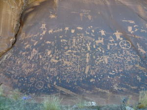
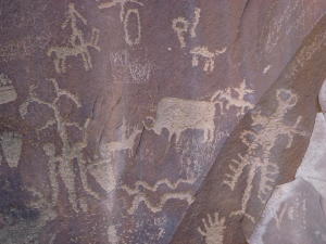
Newspaper Rock National Historical Site
- a petroglyph panel etched in sandstone records 2000 years
of early man's activities.
|
It was declared a National Historical Monument
in 1961.
|
 |
|
|
|
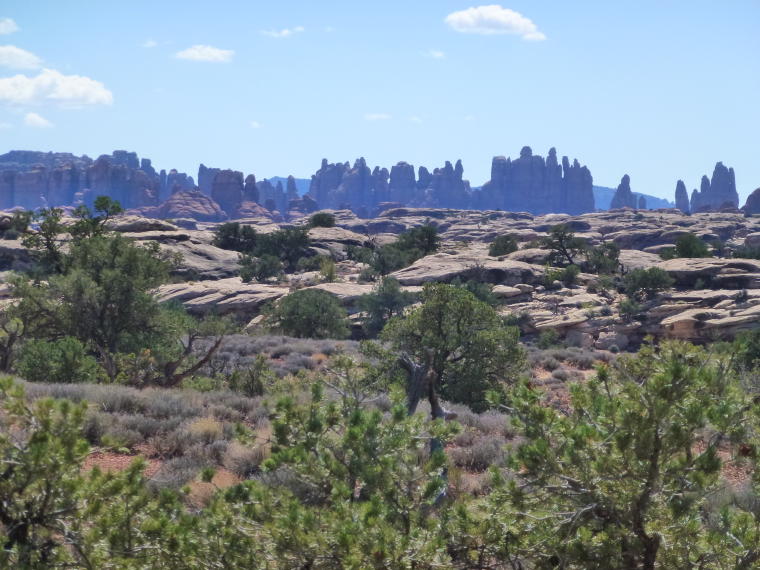
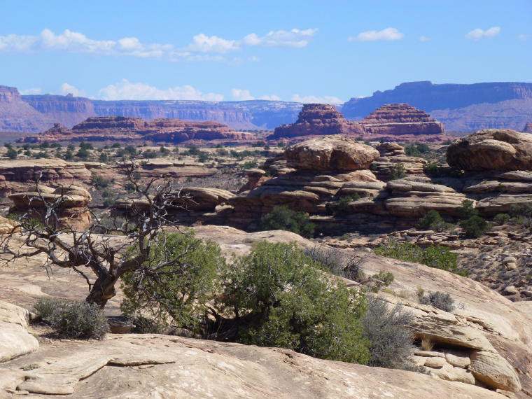
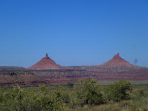
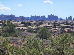
View of Needles Pinnacles
|
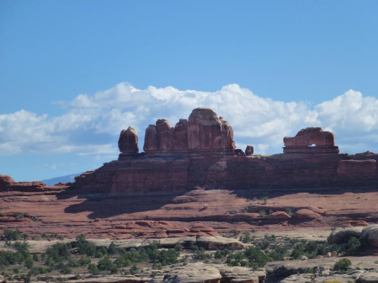
Dutch Shoe Arch
|
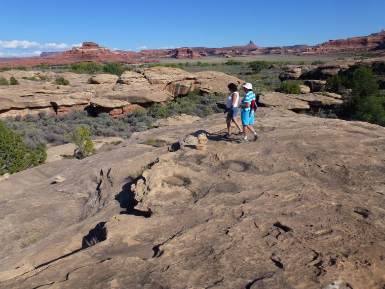
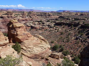
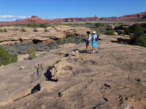
Slickrock Foot Trail - 2.4 mile round trip
trail over slickrock surfaces to several viewpoints.
|
|
|
|
 |
|
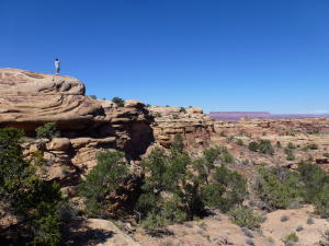
View from Slickrock Trail
|
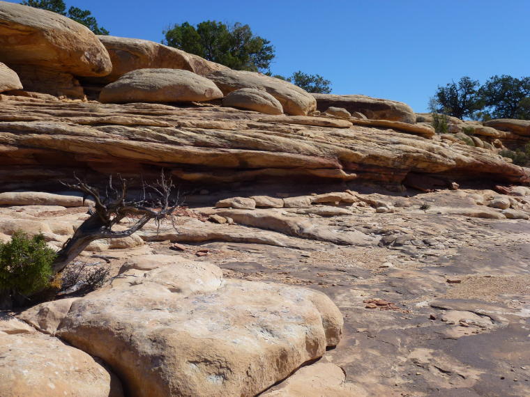
Interesting pattern in the rocks
|
Kenny looks at the view
|
 |
 |
|
|
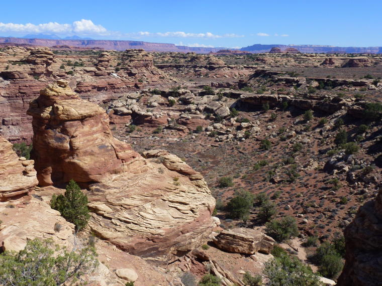
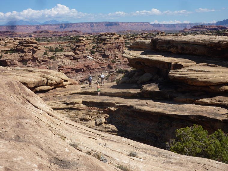
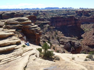
First Overlook
|
We followed cairns on the rocks to each
overlook
|
A rugged trail
|
 |
 |
|
|
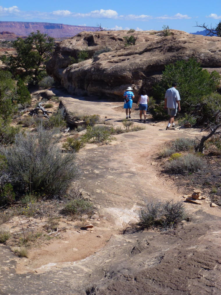
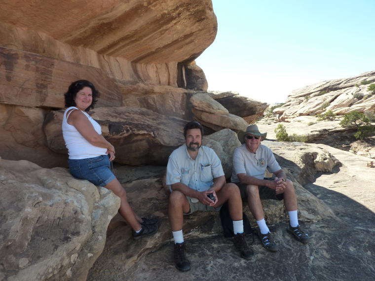
Rest Stop
|
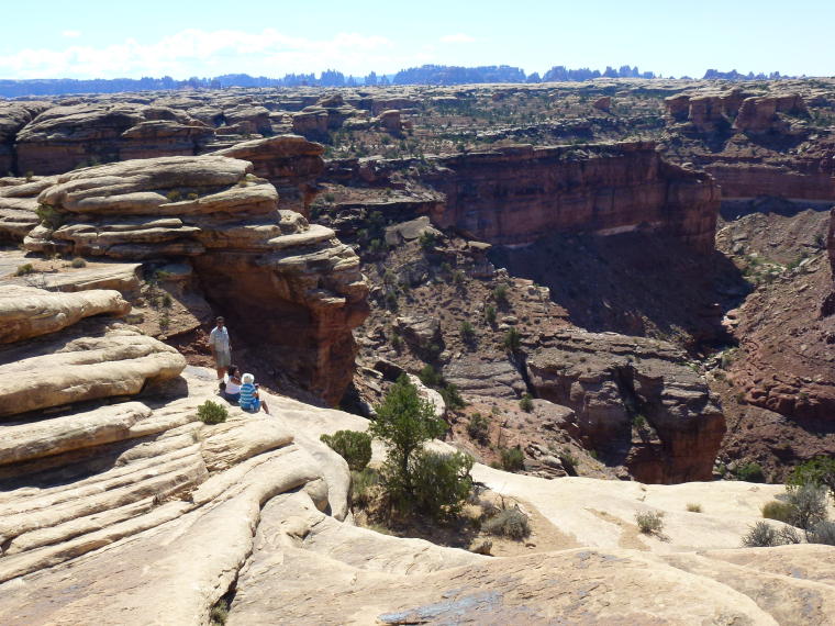
Second Overlook
|
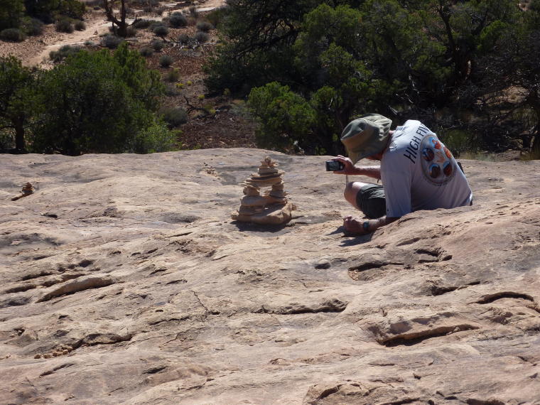
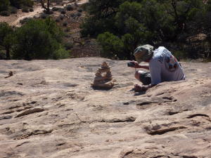
Barb adds to the cairn
|
 |
 |
 |
|
Fred likes this pyramid shaped cairn.
|
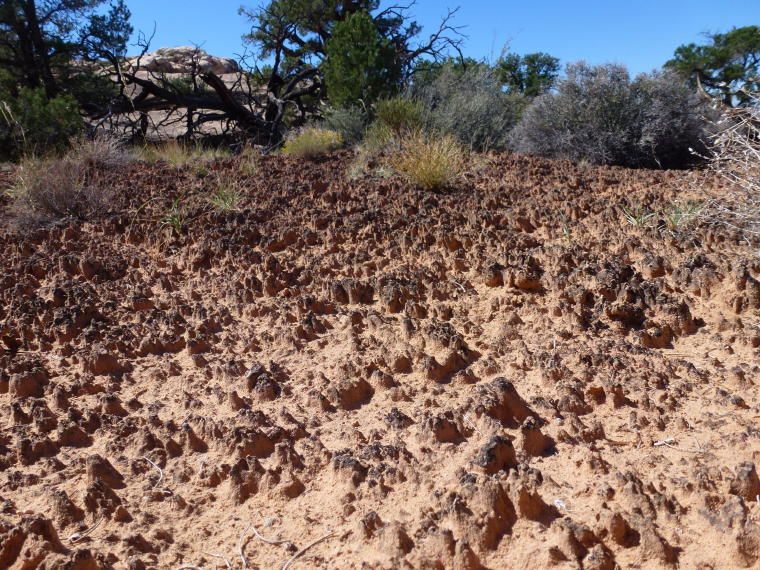
Cryptobiotic soil crust. This black crunchy
soil is a delicate and ecologically vital living community
of lichens and cyanobacteria. Hikers are urged to stay off
this fragile soil.
|
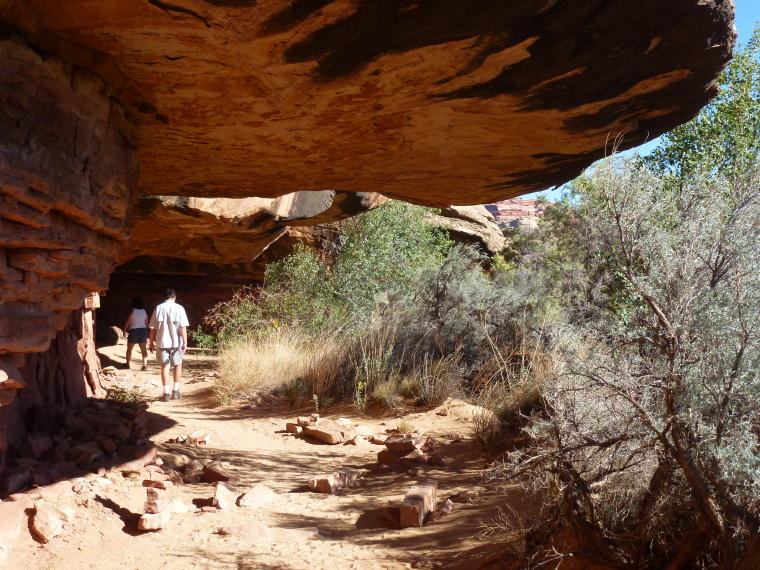
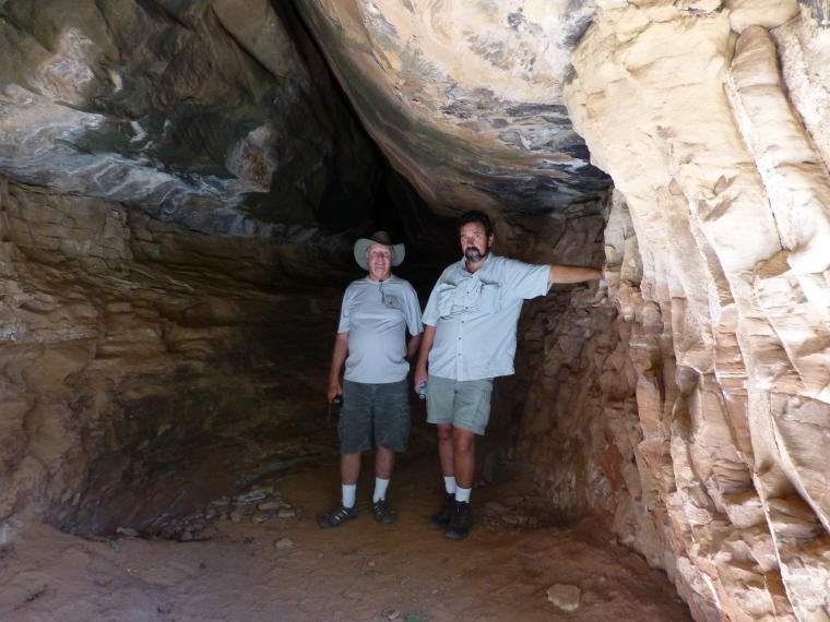
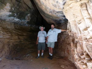
Cave Spring Trail - Cave Spring is one of
the area's few year round water sources.
|
 |
 |
 |
|
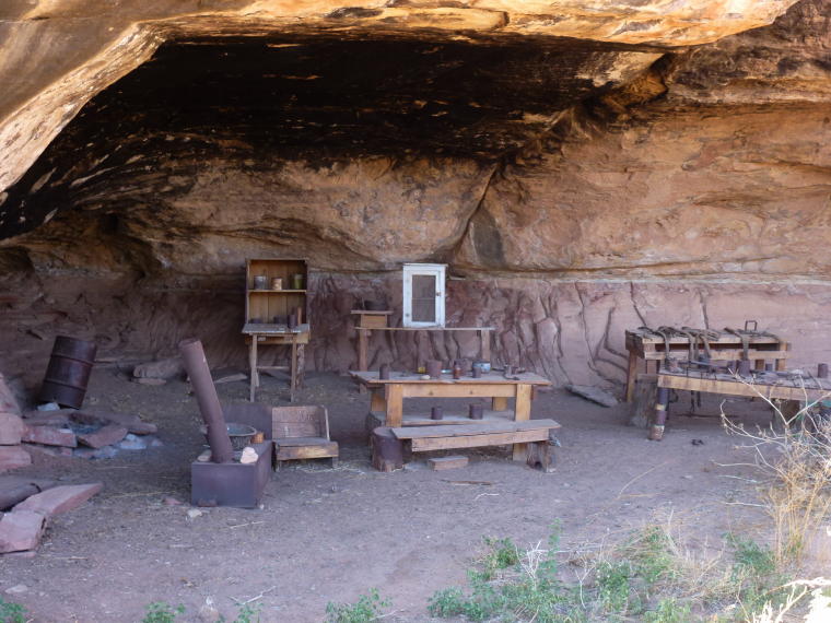
Remnants from a cowboy camp - served as
an open air bunkhouse from 1890 to 1975 when cowboys moved
cattle from range to range.
|
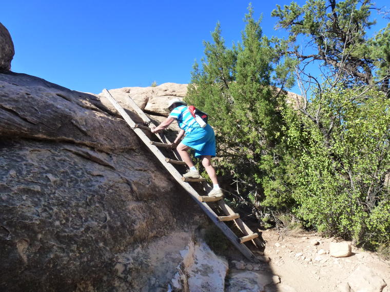
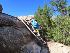
We climbed wooden ladders placed on the
trail.
|
Fred and Kenny enjoy some shade
|
|
|
|
 |
|
Billie climbs the tallest of the ladders
|
Then it was Barb's turn
|
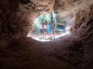
Group photo
|